| Projects | Publications |
Measuring cyclists’ exposure to traffic emissions across urban cycling facilities
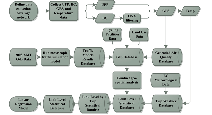
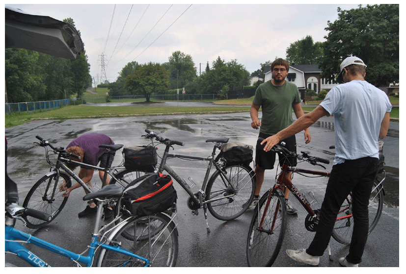
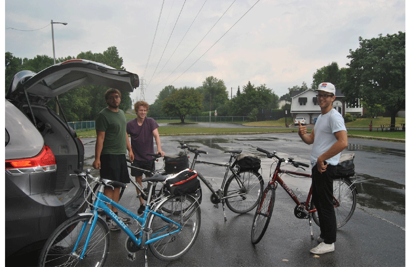
This project seeks to examine the relationship between traffic emissions and cyclists’ exposure to air pollution across a variety of cycling facilities within the Island of Montreal. The concentrations of two pollutants, ultra-fine particulate matter (UFP) and black carbon (BC) were measured at each second along a set of cycling routes. Two pairs of research assistants cycled on 25 unique routes over a five-week period. Each route was measured on four occasions: during the morning and evening peak periods on two separate days. Each route was approximately 25 ± 3 km for a total of approximately 600 km, covering nearly all 425 km of cycling facilities on the Island of Montreal as well as other common cycling corridors.
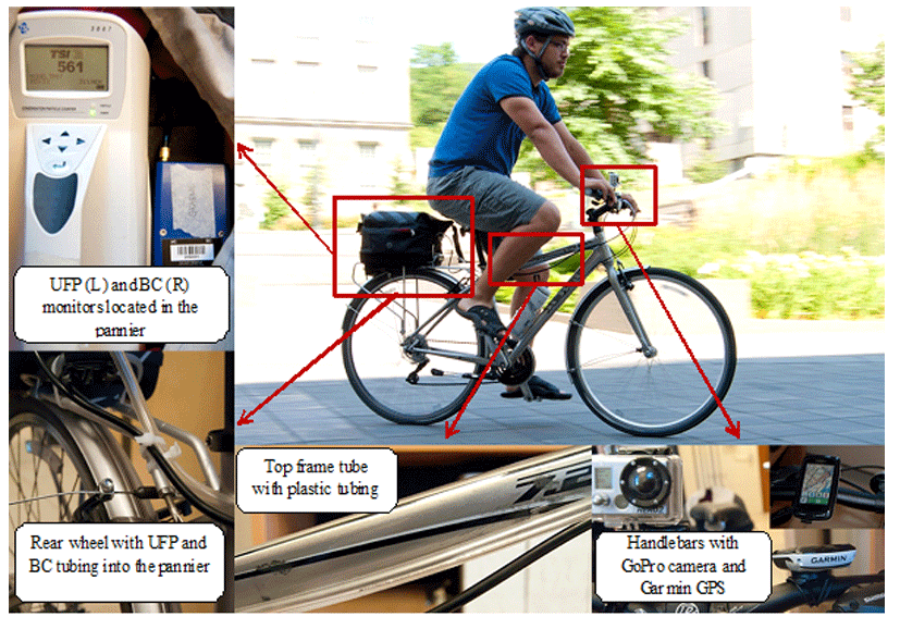
All four bicycles were equipped with panniers located above the rear wheel with plastic hosing running along the frame until the handlebars. Inside each pannier was a TSI Model 3007 condensation particle counter (TSI, St. Paul, MN, USA), recording real-time measurements of ultrafine particle (UFP) (0.01-1 μm) number concentrations. Three of the bicycles also measured black carbon (BC) concentrations with microAeth AE51 aethalometers (Magee Scientific, Berkely, CA, USA). Mounted to the handlebars was a Garmin Edge 800 GPS (Garmin Ltd., Schaffhausen, Switzerland) recording real-time location, altitude, and temperature at a frequency of 1 Hz. At the beginning of every ride, air pollution monitors were calibrated and their clocks synchronized to the GPS. This allowed UFP and BC measurements at each second to be associated with the geographic coordinate at which the measurement was taken. Finally, a GoPro Hero 2 video recording camera (Woodman Labs, Half Moon Bay, CA, USA) was affixed to either the frame of the bicycle or a cyclist’s helmet and provided a 170 degree view of the surrounding road network. Full recordings of selected bicycle routes were conducted. This allowed us to retrieve road and bicycle facility configurations.
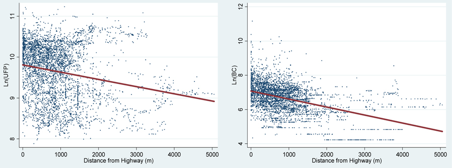
The spatial extent of the data collection included a diverse array of cycling facilities and land use patterns. Linear regression models were estimated for UFP (R2=0.3963) and BC (R2=0.4528), along with descriptive statistical analysis on many of the variables processed. Levels of UFP (2,653-75,374 #/cm3) and BC (68-70,322 ng/m3) varied greatly across the study area. Presence in a downtown location was the strongest effect in both models. Following this, the UFP model was strongly influenced by wind speed, temperature, and distance from a restaurant, while the BC model was most influenced by the distance to the nearest highway, relative humidity, and congestion. No aggregate difference was observed between in-street cycling and cycle tracks, however park trails had noticeably lower pollution levels. This may be due in part to higher traffic density on streets with cycle tracks offsetting reductions gained by their greater distance from tailpipe emissions.